CT to FL Day 31
Fort Pierce, FL to Pahokee, FL

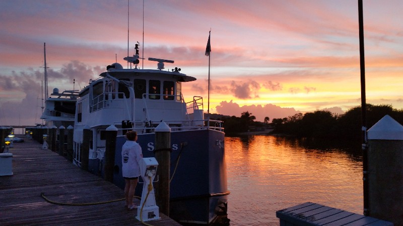
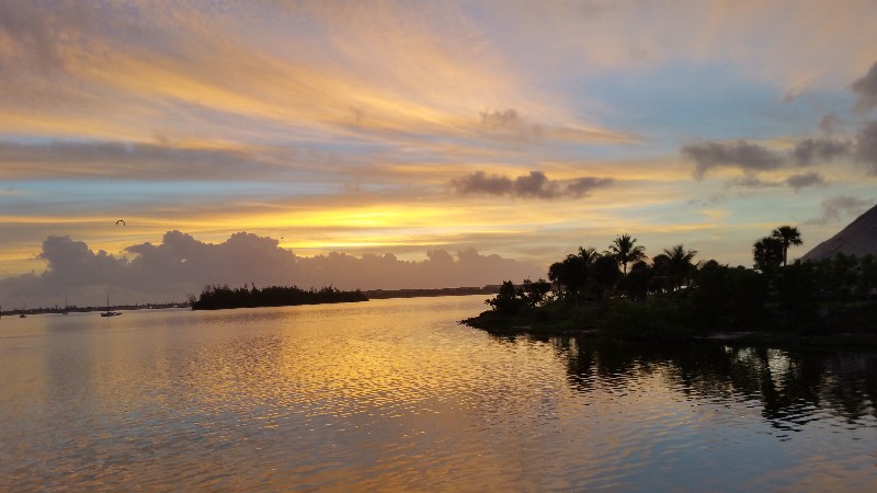
We left Fort Pierce this morning just before sunrise and returned to the ICW and headed south. Destination for the day planned as either Port Myakka Lock or father depending on currents an speed we were able to make.
Currents did not seem to play a par tin todays cruising at all... only one place do I remember having any negative effect from current against us... leaving the ICW and entering the St. Lucie River we had current on our nose for a few miles.... no where did we actually get a boost in speed.
We had one bridge and two locks to deal with today. The Roosevelt Bridge in Stuart that is also adjacent to an automated railroad bridge that can really hold you up. Today we barely made it through the bridge and the railroad bridge siren went off and red light started flashing... Train coming... monitoring on the VHF that train held up the ICW traffic for about 40 minutes... luck was with us there.
The first lock is the St. Lucie Lock and again luck was on our side and we were able to enter the lock chamber with no delay.... about 20 minutes to raise us 14 feet and we were off heading west across the Okeechobee Waterway.
Next lock was at the edge of Lake Okeechobee and just over 20 nautical miles away. The locks close at 1700 and we had 3 hours to make it there... doing the math 5.5 knots on one engine times three hours... 16.5 nautical miles... a little short... so we had to keep the starboard engine on as long as we could to try and reduce the gap between us and the lock and the 1700 deadline. Both engines running we were making 7.1 knots without pushing too hard.
We were able to run for about an hour and a half... maybe a little longer... at this speed before I saw the engine temperature starting to rise... but it was enough... when I shut it down we were still making 6 knots and had an ETA to the lock at 1640... 20 minutes to spare.
We locked through at 1642 and it was decision time... continue across the lake with an ETA to Clewiston of 2000-2030 or divert to Pahokee with an ETA of 1800-1830. The radar showed a band of rain approaching the lake from the SW so we opted for Pahokee and hopefully get in before the band of rain hit.
It was a good plan but the band of rain hit us about 20 minutes out from Pahokee... winds picked up to 20 to 25 knots and it poured for maybe 15 minutes then it was past us... still some light rain but the heavy rain and winds were gone and we were able to actually see to enter the marina.
The surprise to us was that the marina was pretty much empty and abandoned. A few boats on a couple of the docks but it appears that this marina in Pahokee is no longer open. The restaurant at the top of the docks was open and appeared to be very busy. Very sad was a very nice marina.... in the middle of nowhere but nice.
We were securely docked at 1830. Our position for the night
26°49.529'N 080°40.091'W. We traveled today for 11 hours and 30 minutes covering 64.0 nautical miles averaging 5.6 knots.

