FL to CT Day 20
Oriental, NC to Alligator River, NC

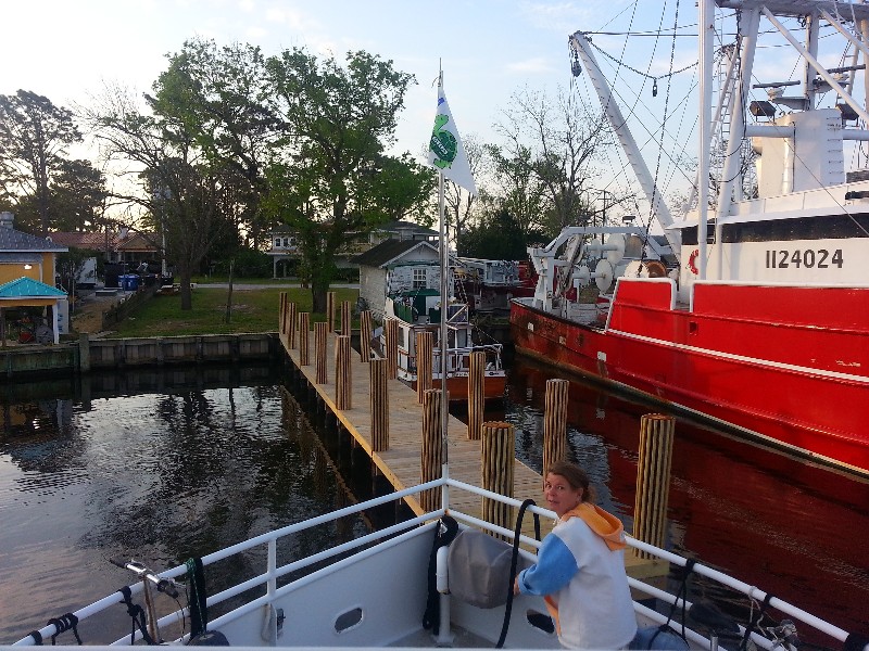
We spent a layover day Thursday the 24th in Oriental, NC and had a real nice visit with Fran Reich… she’s family but not sure what she would be… she is Susan’s Sister Lisa’s Husband Alan’s Sister… anyway, we really enjoyed her visit… she drove three hours one way to see us… ?
We woke up at the normal time 0600 but had sort of lazy start not rushing around too much at all and did not get away from the dock until 0715… heading out of Oriental Harbor to the Neuse River… winds were forecast for 5-10 in the early morning and increasing to 20-25 in the afternoon… they did pick up a little sooner but we were almost off the Neuse before the winds had a chance to whip up any large waves… 2-3 foot was max we saw. We also had to cross the Pamlico Sound and it had 3-4 waves but the ride was not bad at all.
There was a cold front approaching and it was supposed to really pickup so we opted to cut the day short and anchor at the south end of the Alligator River rather than go all the way to Alligator River Marina.
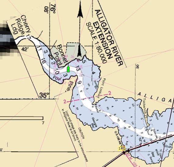
I had seen an anchorage on ActiveCaptain just to the west after exiting the A&P Canal at the south end of the Alligator River. We decided to give it a try as there was also a boat ramp near it that we could take Beecha to shore. The wind was already whipping up as the front approached and I was seeing gusts to 35 knots as we turned out of the ICW at marker 52 and followed the charted deep water west into Alligator River… not quite as deep as charted especially just as you exit the ICW… charts had 9 feet we saw less than 6 feet but after than the charted depth was pretty close. We continued west winding back until we reached a curve in the river than put use behind a point of land and in the lee of the wind and dropped the hook between Bonnet Point and Piney Point in about 11 feet of water… winds blowing 25-30 knots… I put out 100 feet of chain… roughly 10 to 1 scope… I want to sleep soundly tonight.
Our location for the night… N35°41.565’, W076°07.548’. We traveled today for 9.75 hours covering 68.9 nautical miles averaging 7.0 knots.

