CT to FL Day 29
Fort Pierce, FL to Pahokee, FL

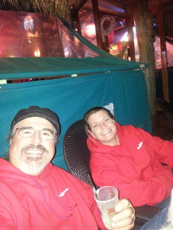
We had a nice evening in Fort Pierce... the adjacent park had decorated with Christmas lights and synchronized them to Christmas music... so we took a walk through the park after dinner to watch the lights and listen to the music... was very nice! We stopped on the way back at the Original Tiki Bar and enjoyed a few drinks and watched the moon rise over the Indian River.
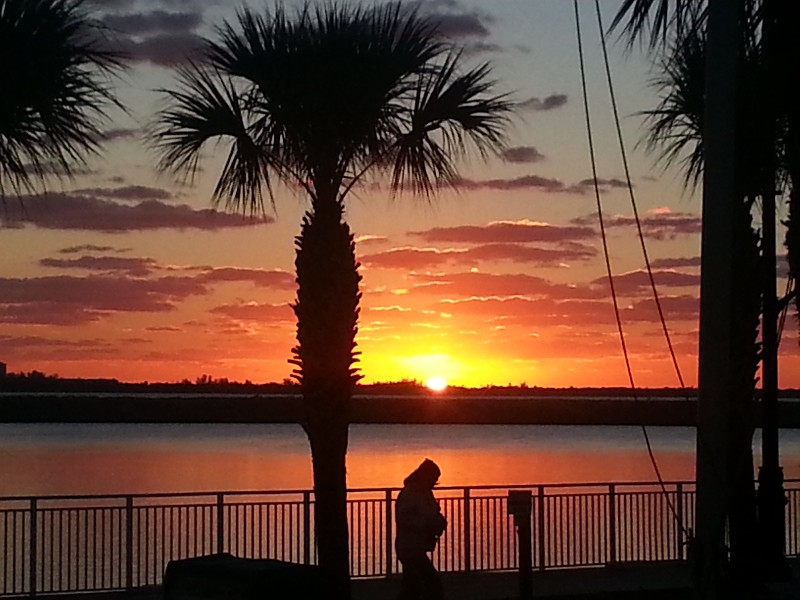
We departed Fort Pierce at 0730 and headed south... just at sunrise... Today we planned to travel to Indiantown Marina on the St. Lucie Canal... calling them on the phone we found out they had no room... full up! so, we went to plan B... we did not have enough time to cross Lake Okeechobee before sunset... could do it in the dark but we could not make the last locking at Moore Haven at 1900. After a little research plan B was established We would take Route 2... the rim route around the lake... stopping at Pahokee, FL for the night.
We did have a few obstacles today to contend with... Roosevelt Bridge in Stuart would require and opening... St. Lucie Lock after that and the Port Mayaca Lock at the edge of the lake.
Roosevelt Bridge went smoothly with no delay for the opening... arrived and went right through. St. Lucie Lock went just as well... as we arrived the east bound boats were exiting the lock and we got a green to enter with no delay... 20 minutes later and 14.5 feet higher we were bound for the Port Mayaca Lock.
As rounded the bend just before Indiantown we noticed the Indiantown Railroad Bridge was closed... hailed them twice as we approached... normally, this bridge is open unless a train is coming... we reached the bridge and came to stop 150 feet from it... I hailed again... this time I got a reply asking how far from the bridge we were... I responded 150 feet... he replied... OH.. OK... how quickly can you go through the bridge he asked... I'll go through as fast as I can I replied... OK... there's a train coming but I'll open it if you come through quickly... OK... no problem... I moved closer to the bridge and waited... maybe 50 feet from it... it's a swing bridge and I felt as if I was pushing it around as we passed through... the bridge tender thanked me for going through so quickly... anyway, we did have some delay for this but not bad... glad he was nice enough o open and not make us wait... although, it was not 2 minutes after the bridge closed that I saw the train crossing over the bridge.
We reached the Port Mayaca Lock at around 1525 and hailed the lockmaster... no wait at all... he opened the lake side gates as we approached and we entered Lake Okeechobee with no change in water level here. The lake was nearly flat calm would of been a nice crossing but we were not going across today... we would turn to the south and head for Pahokee.
I did not enter the rim route at the lock.. instead I took a straight path from the last marker outside the lock directly to Pahokee... we entered the rim channel between markers G61 and R62... just north of the entrance to the marina.
We entered an almost empty marina... maybe 5 boats total were docked.... this is a 170 slip marina so it looked pretty sparse. Most of the boats were on two docks so we continued to the T-head of the dock that had boats on it. As we got to the T-head we noticed the boats tied on the inside of it had lines on all the available cleats... no place to tie here... we continued past and down the fairway that went to the boat ramps and tied alongside here.
Not sure what happened to the marina but it is basically, abandoned. Talking to some people on land we discovered... At one time it was the Pahokee City Marina... then it became Loggerhead Marina on Lake Okeechobee and finally it was Lake Okeechobee Resort and Marina. But the last people left summer 2013 and the city is trying to evict them from the property... but during this no one is managing the marina. It's nice marina... newer looking wooden floating docks... power still on... a shame it's not being utilized... so we will utilize it tonight.
We were docked at 1700 at N26°49.532', W080°40.096'. We traveled today for 9.25 hours covering 63.4 nautical miles averaging 6.7 knots... not a bad average considering the locks and bridges.

