CT to FL Day 21
Beaufort, SC to Kilkenny Creek, GA

We left the anchorage this morning a few minutes before sunrise at 0700. Destination for the day planned to anchor at sunset as far south as possible.
Today was a horrible day... raining all day long. Plus we had those extreme full moon tides to deal with... 10 foot tides and strong currents. It was good the few places we had the current in our favor but it felt like it was against us most of the time.
We had one hairy area for depths... we arrived to Hell Gate at dead low tide. Per teh Active Captains reviews from other boaters transiting the area. We should not of made it through. Reports were 3 foot depths at low tide. We slowed to idle speed to creep through so if we grounded it would not be a hard grounding. Finger crossed and sitting on the edgfe of our seats we crept through... depth sounder stopped working a few times but we never touched the bottom...:)
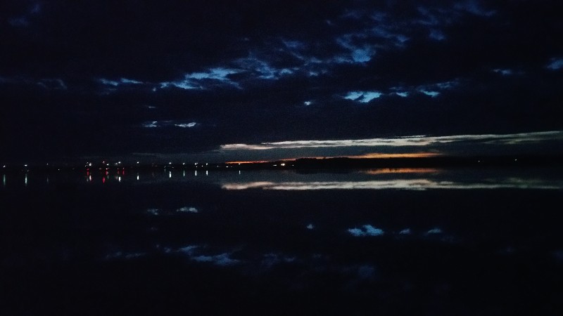
sunset was at 1722 and we were anchored in Kilkenny Creek at 1730. Actually saw our first boa of the day here anchored just ahead of us... sailboat. Our location for the night
N31°46.698’, W081°10.980’. We traveled today for 10 hours and 30 minutes covering 67.0 nautical miles averaging 6.4 knots.
Posted at 4:58 PM
CT to FL Day 20
St. Johns Island, SC to Beaufort, SC
The current was wicked when we arrived and there was no way I was going to attempt to leave with current running, so we waited for a slack current this morning before attempting to leave... departing at 0845. Destination today... the Beaufort, SC area.
We had a cloudy and rainy day... current were extreme... either pushing us at 9 knots or slowing us down to 5 knots. Full Moon so the tides are extremely high and also very very low. The low tides had us creeping through a few spots today... particularly the south end of Ashepoo cut. The depth sounder was not even working it was so shallow... did not feel us dragging bottom but it was very close.
We arrived to Beaufort and anchored just south of the city mooring field at 1700. Our location for the night
N32°25.690’, W080°40.911’. We traveled today for 8 hours and 15 minutes covering 55.8 nautical miles averaging 6.8 knots.
Posted at 4:25 PM
CT to FL Day 19
Whiteside Creek, SC to St. Johns Island, SC
Very peaceful night on the hook... strong current but no issues.
Departed from the anchorage this morning at 0800 and back to ICW... current against us all day... luckily we had a very short day planned going to St. Johns Island just below Charleston.
Weather was also not that great... it was windy and raining.
We did have the strongest current we have ever expereinced against us as we transited Elliotts Cut. I had the engines at 2750 RPM.. should give us about 7.5 knots... as we got into Elliotts Cut we slowed to below 2 knots... 1.6 knots being the lowest I saw... very very strong current! Glad it lasted only 15 minutes and we were out into the Stono River.
Where we turned down teh Stono running with the current... we were ruinning over 7 knots in idle... crazy currents here today.
We only had about a mile to go to reach our destination at St. Johns Yacht Harbor. It had suffered some damage from Hurricane Matthew and lost 3 or its t-head docks where we normally dock... today we had to dock on C Dock about 150 yards down the fairway. This same strong current was running through the marina. We bascially had to crab sideways almost perpendicular to the fairway to the slip.... was a little hairy getting in but had no problems. We will wait till slack tide to leave... :)
We were secure at the dock at 1140. Our location for the night
N32°45.290’, W080°00.699’. We traveled today for 3 hours and 40 minutes covering 19.2 nautical miles averaging 5.2 knots.
They have a courtesy car here at the marina and we were able to go to Susan's favorite grocery store... PUBLIX.
Posted at 3:54 PM

