FL to CT Day 24
Deep Point,NC to Alligator River, NC to Coinjock, NC
We pulled anchor and were underway at 0700 heading north on the Alligator River. Destination planned as Midway Marina in Coinjock, NC.
Winds were down today to virtually none and the Alligator River and Albemarle Sound were nearly flat calm... very nice!
We arrived to our location for the night at 1345
N36°21.095', W075°56.861'. We traveled for 6 hours and 45 minutes covering 46.5 nautical miles averaging 6.9 knots.
Posted at 3:45 PM
FL to CT Day 23
Oriental, NC Deep Point, Alligator River, NC
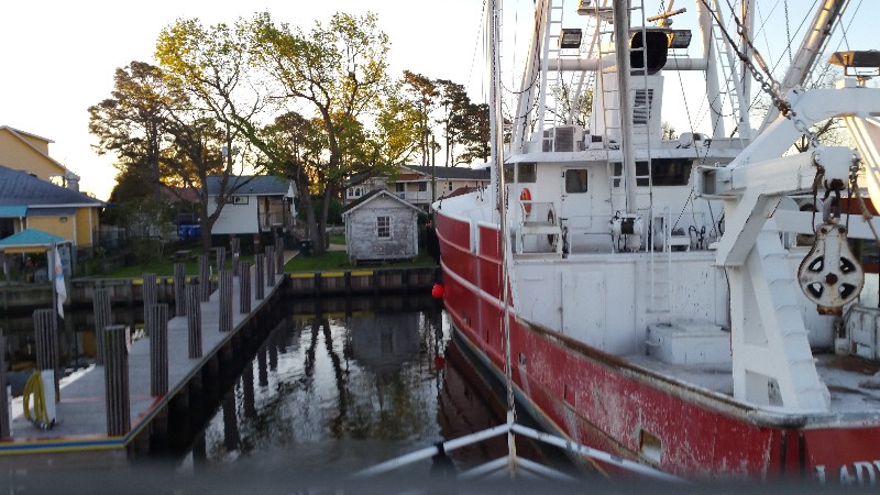
Winds were finally down and we were able to leave Oriental this morning at 0700. Backing out a space that seemed much narrower than I remember when we docked. Oriental Harbor was like glass as we left... unlike the last few days where there were whitecaps.
Also, with the westerly winds SAILS had become covered with bird crap from the birds sitting on the large boat next to us...
Neuse River was nice to us with 1-2 foot waves and the Pamlico Sound was a little rougher as the winds did pick up slightly to 15-20 knots from the NW.
Transited the A & P Canal and continued a couple of miles to an anchorage just off Deep Point, Alligator River. Anchoring in 7-8 feet of water at 1700. Our Location for the night N35°40.503', W076°03.453'.
We traveled for 10 hours covering 68.4 nautical miles averaging 6.8 knots.Posted at 5:35 PM
FL to CT Day 22
Layover Oriental, NC
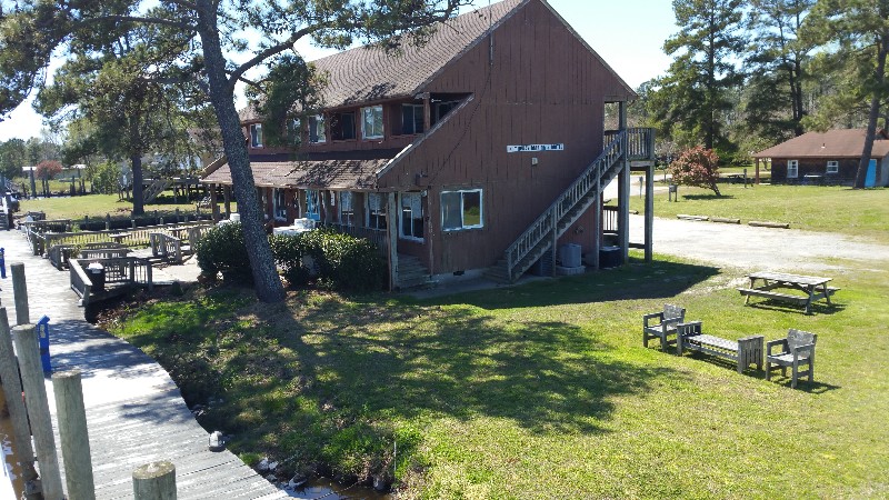
Another day layover in Oriental... winds still blowing over 25 knots steady and gusts to 35 knots... sitting at the town dock...
http://towndock.net/harborcamPosted at 5:46 PM

