FL to CT Day 20
Deep Creek, VA to Reedville, VA

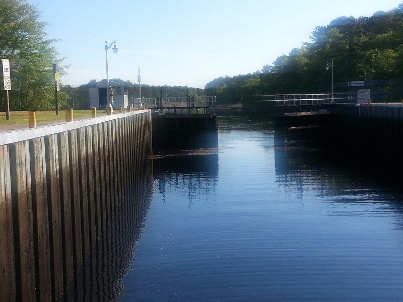
No southbound Dismal Swamp traffic so we were able to get through the Deep Creek Bridge at 0830 and we were exiting the Deep Creek Lock at 0900. We were going to stop in Portsmouth at Ocean Marine and utilize our FREE dockage from last years misunderstanding with them but the forecast for the Chesapeake Bay today was for 5 knot winds and less than 1 foot waves. The forecast for Thursday was also good with 5-10 knot winds and 1-2 waves. That’s two days of smooth cruising in a body of water than can be really nasty. The forecast for Friday is not that great but we will be almost to the top of the bay by then and can do handle that area with a bad forecast. This puts us in Chesapeake City on the C & D Canal on Friday. With all of this in mind we decided to continue up the bay and get to Reedville tonight.
The forecast was exactly as it stated… the bay was flat calm all day long.
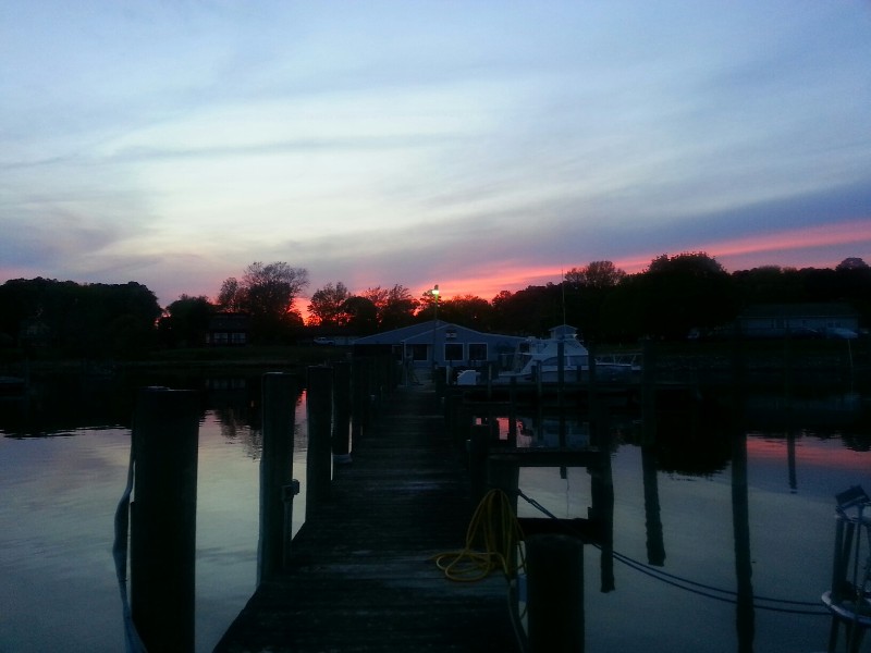
Very little other boat traffic. Current with us out of Norfolk and against us until just after Wolf Trap Light where we started to get a little boost the rest of the way to Reedville, VA.
Our position tonight is
N37°49.948’, W076°17.129’. We traveled today for 11 hours covering 72.2 nautical miles averaging 6.6 knots.


Posted at 6:53 PM
FL to CT Day 19
Columbia, NC to Deep Creek, VA

We departed from Alligator River Marina this morning at 0700 and headed out to the ICW. Today we had to cross Albemarle Sound and the winds were kicking were reading at 20 knots plus with gusts to over 25 knots out of the NNW. Exiting the mouth of the Alligator River the seas were 1-2 feet. Soon as we cleared the bars at the mouth of the River we started getting steady 3-4 footers with some bigger rogue waves. It was NASTY!
We had three options…
1) turn around and go back to the marina… NOT…
2) go straight across the Albemarle to the Pasquotank River in quartering seas and then the Dismal Swap Route…
3) go beam across the Albemarle to the North River and the Virginia Cut and Currituck sound.
We opted for option 2 and the smoother ride across the Albemarle. It would also be shorter time in the heavier seas compared to option 3. Option 3 also had Currituck Sound in the route. It can be nasty with winds like we had today.
We were soon across the Albemarle and heading up the Pasquotank River toward Elizabeth City. This route would have doing the Dismal Swamp Canal. Really don’t care for it as we can’t make much more than 4 knots for about 20 miles. We had two locks… well one today… The South Mills Lock and Bridge just north of the lock. The same man operates the lock and then drives to the bridge to open it for you. We reached it at it’s 1330 locking and the next lock 22 miles away has its last locking at 1530… 22 statue miles in two hours… would have to go much faster than SAILS is capable of and the entire canal is a NO WAKE ZONE.
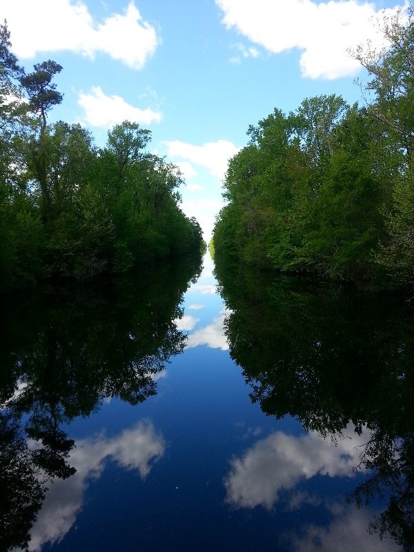
The other very disturbing thing abut the Dismal Swamp is the deadwood on the bottom… all the way through you are continually hearing these horrible sounding thuds on the hull. We have had issues with it damaging our props but today no damage just the horrible noises. Although it is very beautiful.
We arrived to our destination for the night at 1755 alongside a bulkhead with just the right amount of room for us to dock. There used to be a Mexican restaurant here but it appears to have gone out of business. Susan came back from walking Beecha and spied a Hardees across the street and is now craving some fast food from Hardees for dinner.
I wish we could have continued on to Portsmouth area but we are trapped in the Dismal Swamp Canal at Deep Creek. The last bridge and lock opening was at 1530 and we can’t even leave early as the first bridge and locking is at 0830.
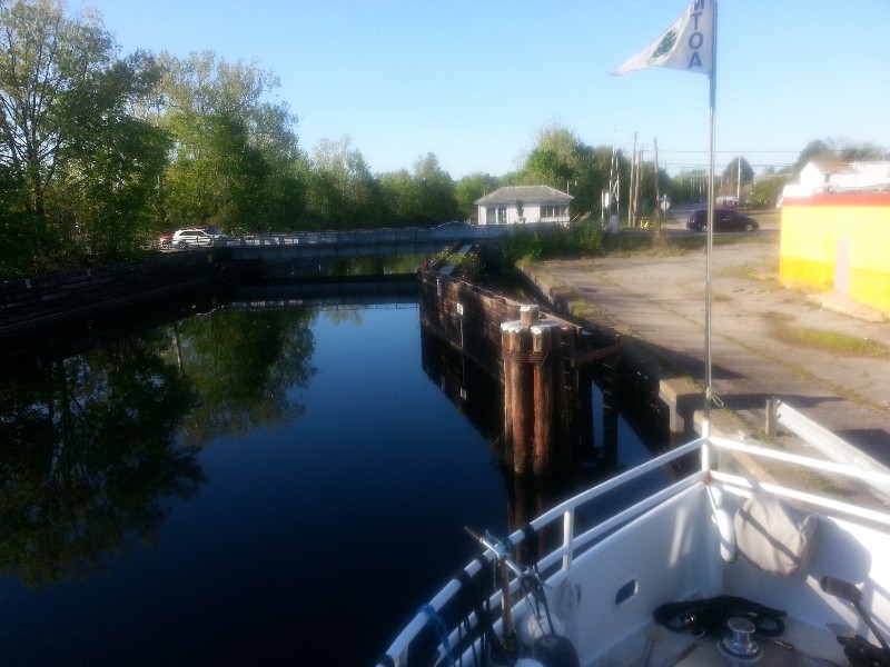
Our position tonight is
N36°44.428’, W076°20.698’. We traveled today for 11 covering 64.5 nautical miles averaging 5.9 knots.


Posted at 5:37 PM
FL to CT Day 18
Oriental, NC to Columbia, NC

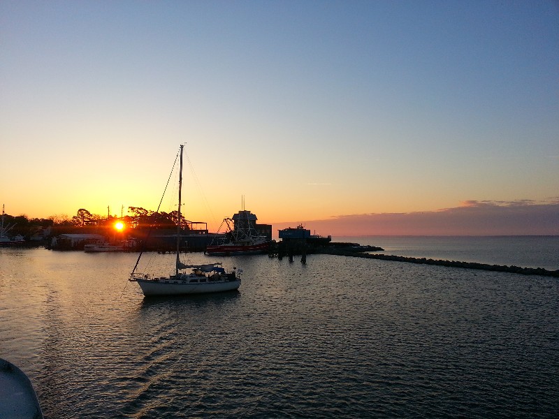
We departed from Oriental this morning just as the sun was coming up at 0625. It was great to see the sun this morning compared to rain and fog yesterday morning. We would transit three fairly large open bodies of water today… The Neuse River, Pamlico River/Sound and the Alligator River. Northwest winds 5-10 increasing to 10-15 was the forecast. For the Neuse River and Pamlico this is a good forecast… Not the best for the Alligator
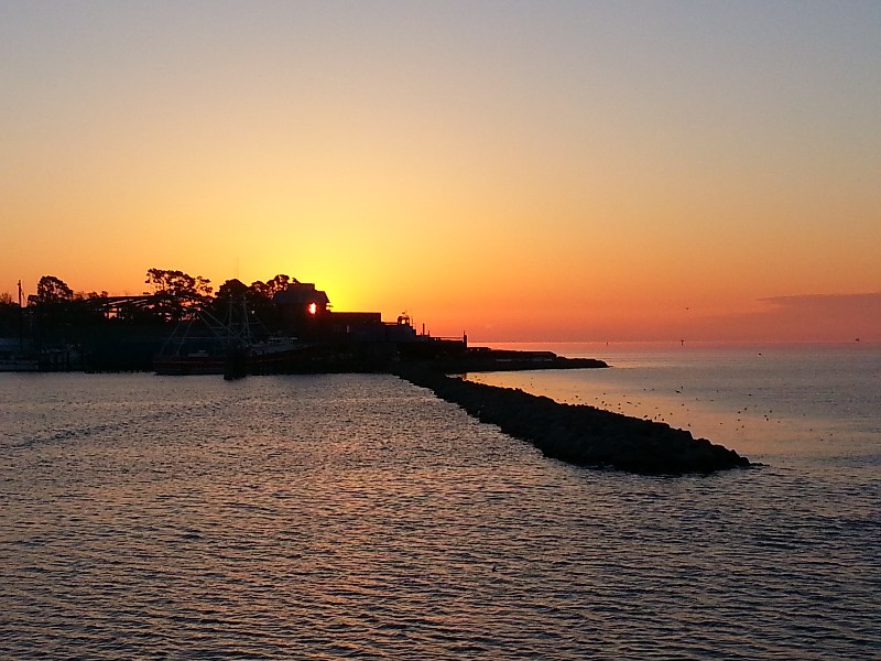
River. We did have a favorable current most of the day pushing up to just over 8 knots at times. Our planned destination Alligator River Marina at the mouth of the Alligator River at the Albemarle Sound.
A few days ago I had hit a crab after leaving Price Creek north of Charleston and the starboard prop had become fouled to the pint it was vibrating heavily. We were in the process of stopping so I could dive and clear the prop but suddenly the vibration stopped and we could see pieces of what was left of the crab pot float. I increased the RPM and no vibration so we continued on. Today running up the Neuse River I was feeling a vibration in the starboard engine/running gear… we must of still had some line from the crab pot on that prop. The vibration was not bad and decreasing the RPM slightly the vibration stopped. We continued and decided that I needed to dive and check things out when we docked tonight.
The Neuse was choppy but no issue at all…. Same for the Pamlico… The Alligator river was quite a bit rougher… 3 foot was and they were piled up on top of each other so it was a rough ride with spray hitting the pilothouse windows every so often. It was more an aggravation than anything else… now I am going to need to wash the pilothouse windows in the morning.
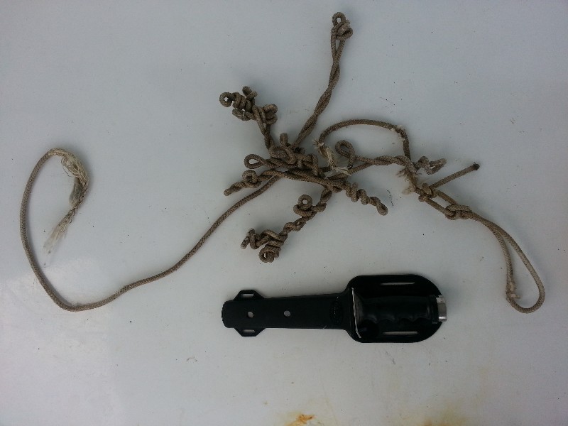
We cleared the Alligator River Bridge at 1800 and were securely docked at the Alligator River Marina at 1815. Beecha was anxious to get to land and Susan was off with her for a walk right away. I pulled out the dive gear and jumped in the water… ICE COLD!!! The dive was totally by feel… it was pitch black under the boat... the sun was setting and the stern was away from any sunlight and the water here is not what you would call clear. I did find a long length of line. It was really twisted up from being on the running gear for a few days.
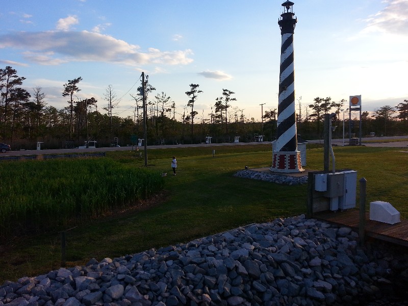
Our position at the marina
N35°54.330, W076°01.722. We traveled today for 11 hours and 50 minutes covering 84.7 nautical miles averaging 7.12 knots.


Posted at 7:44 PM
