FL to CT Day 15
Wadmalaw Island, SC to St. Johns Island, SC

Not having far to go today we slept in... well Susan and Lily slept in... I was awake at just before 0600... At 0800 it was time to wake the crew... crew awake we pulled anchor and were underway at 0830.
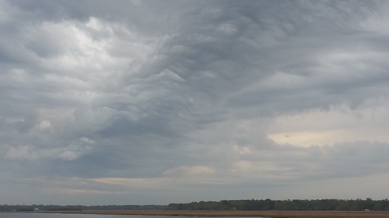
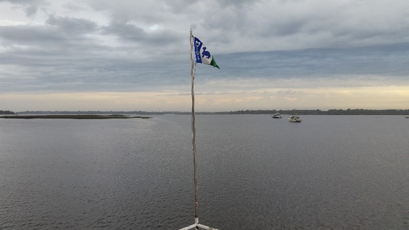
Forecast was for higher winds today SW 15-20 knots... gusts t0 25 knots and 40% chance of rain. It was pretty gloomy as we left the anchorage but appeared as if the day would clear up sooner than forecast...
Virtually no other boat traffic this today... but we were only out for a few hours and the wind did pick up before we reached St. Johns Yacht Harbor... as we approached the marina to dock the winds were gusting to 30 knots... of course they were not helping us dock... blowing us away from the dock... but we managed to get in ad were securely docked at 1100.
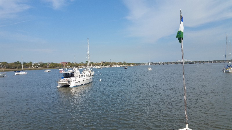
Our location for the night
N32°45.225', W080°00.670'. We traveled today for 2 hours and 30 minutes covering 14.4 nautical miles averaging 5.8 knots.
We will use the marina courtesy car to run some errands.... Publix, Post Office, CVS. This is Susan's last Publix till we return to Florida this fall.
Posted at 2:05 PM
FL to CT Day 14
Beaufort, SC to Wadmalaw Island, SC
Left Beaufort mooring field at 0730 and headed north. We have a reservation at St. Johns Yacht Harbor for Friday night so plan to anchor somewhere a few hours from the marina. Have some errands to run and nice to get to marina early to mid morning. St. Johns Yacht Harbor has a courtesy car.
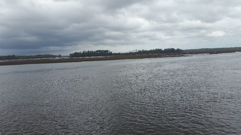
All the boats that were in the mooring field with us last night passed us today at some point... some in the morning and the last one as we pulled off to the anchorage we selected for the night. Church Creek, Wadmalaw Island, We have seen boats anchored here passing each spring and fall but have never stopped here. There is one boat on a mooring and another anchored ahead of us. Current is really ripping through the anchorage.
Forecast is for some bad weather to pass over tonight with SE and then SW winds...gusts to 25 knots with rain. We should have fairly good protection anchored here.
We arrived to Church Creek at approximately 1345... anchored securely for the night 1400.
N32°42.529', W080°10.966'. We traveled today for 6 hours and 30 minutes covering 42.0 nautical miles averaging 6.5 knots.
Posted at 1:31 PM
FL to CT Day 13
Savannah, GA to Beaufort, SC
Slept in this morning till 0800... plans are to go to Beaufort, SC today and it's not that far so no need to get up before sunrise.
Was a nice day on the water... not too windy and sun out 90% of the time... was actually nice and cool... only down side were the bugs... so think they were collecting on the window screens... had to clean them off a couple of times as they were actually making hard to see through the screens.
A few boats passed us... mostly smaller recreational boats out fishing or just enjoying the day.
Currents were against us most of the day... occasionally we did get a boost in speed but for the most part we were running between 5-6 knots.
We arrived to Beaufort at approximately 1600... we were going to anchor but decided last minute to take a mooring ball... hailed the Beaufort City Marina and we had a ball assignment and happen to be directly adjacent to it's location... 5 minutes in to the ball... 5 minutes to get secured and we set for the night at 1615.
N32°25.724', W080°40.809'. We traveled today for 7 hours and 30 minutes covering 45.1 nautical miles averaging 6.1 knots.
Posted at 3:41 PM

